Quaderni di Meteorologia Aperta
As climate change is destined to have a significant impact on all our lives, it takes on a role of considerable importance and contributes to the qualitative definition of society. Within this framework, Radarmeteo adheres fully to a vision of open meteorology, attributing to the word “open” the meaning given by Karl Popper.
We believe that meteorological data should be open and free to everyone, to the domains of culture, business and research and to the general public.
It is our opinion that public meteorology services should carry out an effective monitoring activity, guaranteeing the efficiency, maintenance, upgrading and quality of the networks.
And it is our belief that these systems belong to everyone, and that everyone can contribute to their value, drawing on their personal skills and sensitivities.
The Open Meteorology Journals intend to host every voice which, upholding these principles, wishes to make a technical and experience-based, but not necessarily scientific, contribution to the subject.
They also intend to host voices from outside meteorology, with a view to listening, understanding, engaging and extending our area of interaction.
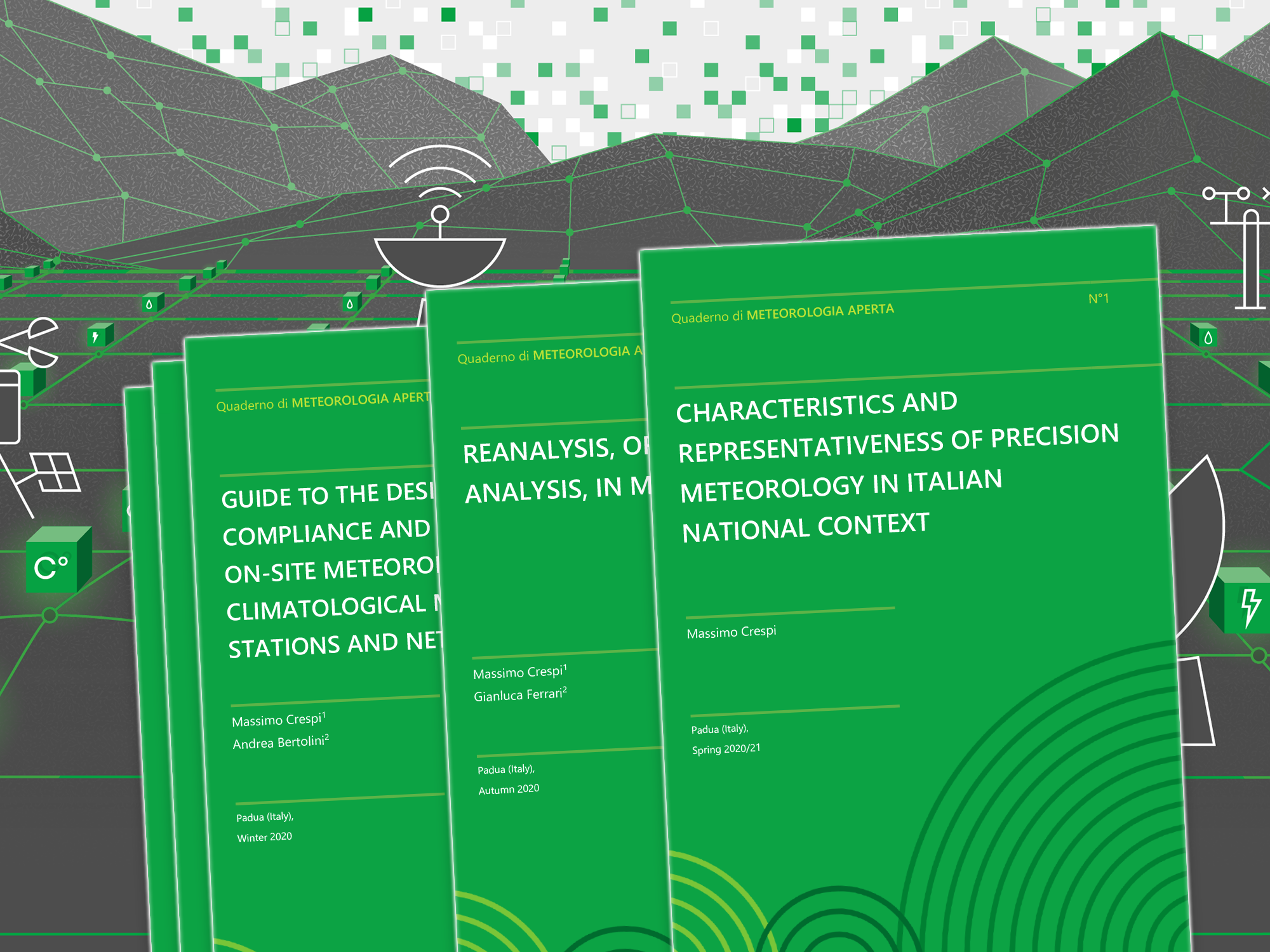
Quaderno di Meteorologia Aperta n° 1 “Characteristics and representativeness of precision meteorology in the Italian national context”
All of our constructions, models and analyses are based on observational data.
But what do we know about this data? And can we rely on it? Where does it come from? This is a crucial issue that the journal addresses in a very pragmatic way, focussing on the Italian situation.
Reanalysis is the new frontier of meteorology. It is also the tool that interacts with all the new, smart, digital applications, opening up weather data to a vast world of users and cultures.
Quaderno di Meteorologia Aperta n° 3 “MeteoCert®. Design, enhancement, compliance and certification of on-site meteorological and climatological monitoring stations and networks”
All operational applications, subsequent processing and historical analyzes need quality data, and for them to be such they must be collected by quality monitoring systems. Here is a useful support for those who are preparing to invest in physical monitoring of the atmosphere and for enthusiasts who approach this world.
Quaderno di Meteorologia Aperta n° 4 “The climate emergency in the digital age. Climate, economy and society”
The climate emergency does not concern the planet earth, but man, on whom attention must be focused in order to give substance to the decarbonization process, without being distracted by “pantheistic” approaches that ease the tension towards the real question: to proceed quickly transitions that can reduce the impact on warming. The task must be entrusted to those who can really make decisions and implement them, and therefore to national governments and central banks, the only ones able to bring about a change of course in industrial processes, favoring the adoption of more compatible technologies.
Meteorology, in its digital form, is able to contribute to this process, both in macroeconomic and policy terms and in a more direct and operational support to the microeconomy. In this, Italy suffers from the lack of an overall vision of its climatic situation, since it does not have a true national meteorological service, which should be created as soon as possible.
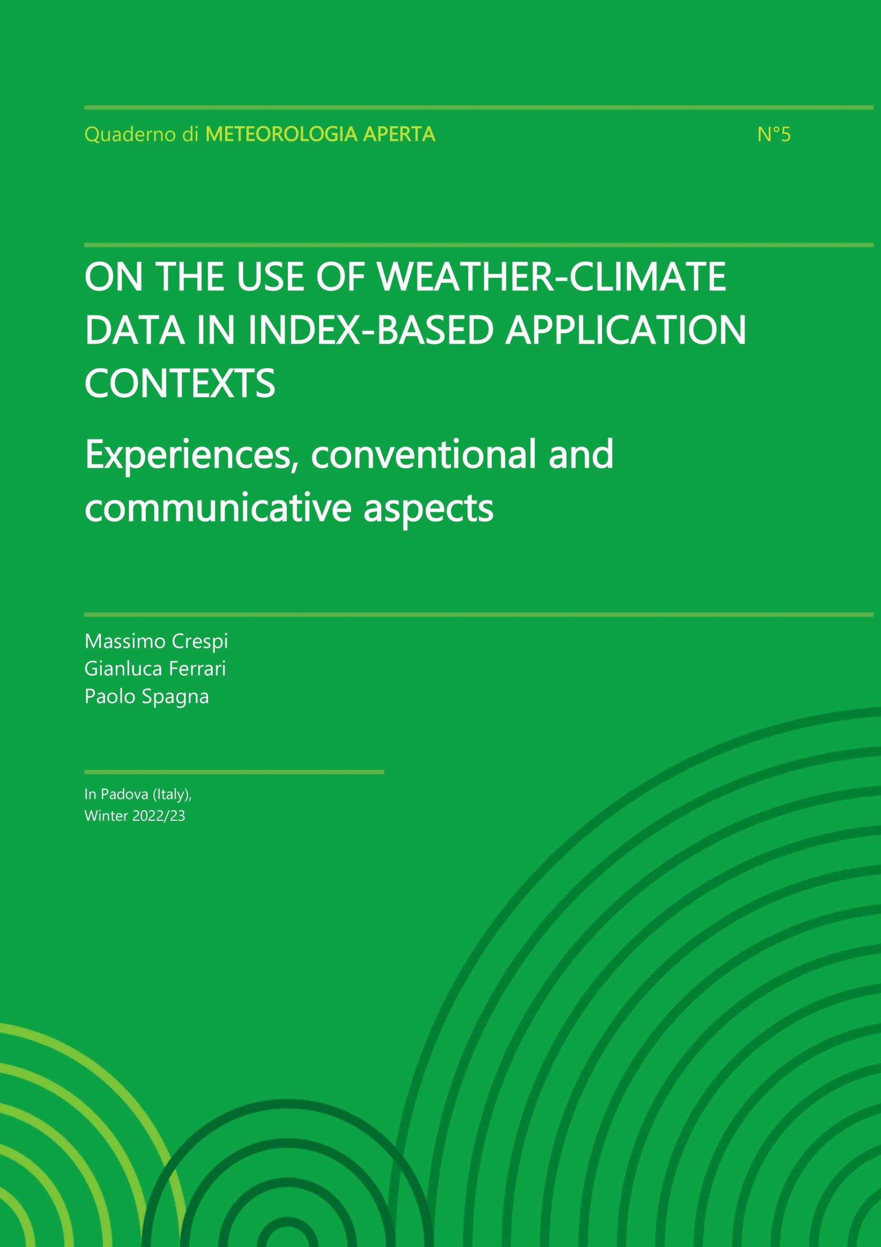
Quaderno di Meteorologia Aperta n° 5 “On the use of weather-climate data in index-based application contexts”
This text is for operational purposes and related to weather and climate services provided to the risk management sector.
Over the years, a number of distortions have been observed on the part of insurance companies, insurance adjusters, policyholder associations and national supervisory bodies concerning the data used as triggers, data that acquire a more prominent role in a predominantly index-based context and in a multifarious market.
It is intended here to provide a clear disclaimer regarding the acquisition, processing and use of the data to prevent, for example, that different data could be provided for a given point within the territory, even pursuant to requests made in different ways, or following database updates.
Useful hypotheses are also provided to improve conventional acceptance of data by the various counterparts through adoption of data encoding and identification systems — HYPER-GRID ID® — able to meet these needs for clarity and unambiguousness.
Finally, the topic of spatial aggregation — a method widely used to provide geographical characterisation of meteorological information — and unique datasets — used to define the most suitable methodologies for maximising data representativeness for the specific field of use — are presented.
